Survey
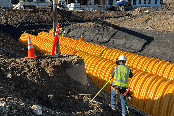
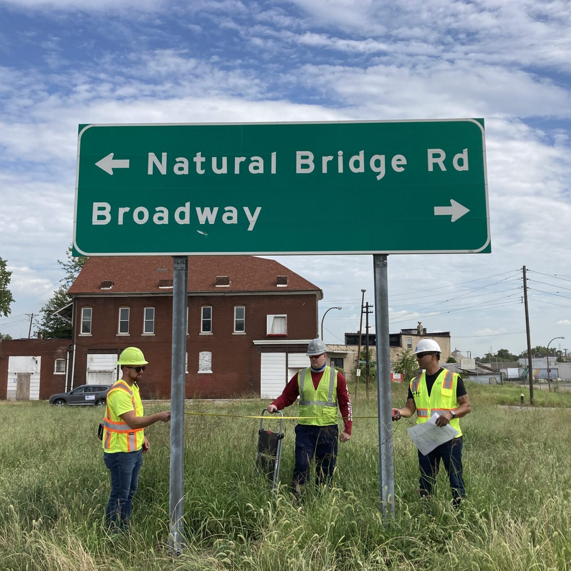
Offering services on either a standalone basis or to complement CDI’s civil engineering capabilities, our land surveying team has developed a comprehensive and extensive knowledge of land surveying. Our land surveyors have worked with a variety of clients across both the private and public sectors and use the latest data collection techniques to produce client deliverables on time and within budget.
With over 20 survey technicians and four Professional Land Surveyors (PLS), our land surveying team has the capacity needed to efficiently meet the needs of each survey project. Beyond our capacity, our licensed land surveyors have experience in many aspects of land surveying, having worked with various clients in both the private and public sectors. Using the latest technology and survey equipment, CDI produces deliverables in a variety of formats to meet our client’s needs.
Survey Services Include:
3D Laser Scanning & Aerial Drone Surveys
Right of Way/Route Surveys & Boundary Surveys
Topographic/ Hydrology Surveys
ALTA Surveys/NSPS Land Title Surveys

Easement Surveys & Exhibits
As-Built Surveys
Utility Location Surveys
Construction Staking
To help ensure quality project delivery, our land surveyors incorporate sound procedures in the field and office, including well-documented methods and passive monument checks, and demonstrate an in-depth knowledge of coordinate systems, datums, scale factors, and property lines. After completing land surveying in the field, our in-house Professional Land Surveyors (PLS) are prepared to provide legal descriptions for each survey project.
Additionally, our survey technicians are experienced in overcoming environmental constraints, including multipath issues, urban canyon, and canopy obstructions created by vegetation.
“The CDI survey team has been a go-to partner for us…We have learned to rely on them because each time they deliver a top-notch product in a timely manner.”


